
Batch Geocoding
Batch geocoding allows you to convert hundreds or thousands of addresses to coordinates in a single operation.
How It Works
- Upload - Upload your CSV or Excel file with addresses
- Map - Tell us which columns contain address data
- Process - Our servers geocode all addresses
- Download - Get your results with coordinates
Processing Speed
Processing time depends on the number of rows:
| Rows | Approximate Time |
|---|---|
| 1-100 | Under 1 minute |
| 100-500 | 1-3 minutes |
| 500-1000 | 3-5 minutes |
| 1000+ | 5+ minutes |
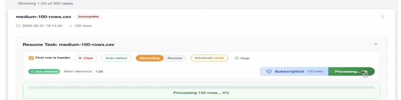
Free Tier
Your first 100 addresses are free! No account required.
Try It Free
Upload a small file to test the service before committing to a larger batch.
Best Practices
Prepare Your Data
- Clean up addresses before uploading
- Remove duplicates to save processing time
- Standardize formats (e.g., "Street" vs "St")
Optimize for Accuracy
- Include as much address detail as possible
- Add country for international addresses
- Use postal/zip codes when available
Large Files
For very large files (10,000+ rows):
- Consider splitting into smaller batches
- Allow extra processing time
- Check your internet connection
API Access
For programmatic access, check out our API documentation:
- Process addresses via REST API
- Integrate geocoding into your applications
- Automate your geocoding workflows
Next Steps
- Reverse Geocoding - Convert coordinates to addresses
- Pricing - See pricing for larger batches